Are Maryland’s coastal communities prepared for climate change?

There is much to admire about Maryland's coastal towns, particularly those situated along the Chesapeake Bay. Where else can you spend the day kayaking on the Bay, photographing herons and egrets, hiking through pristine wetlands—all while managing a crab line at the neighborhood dock back home?
But life along the shore also has its downsides. Climate change has caused waters to warm, sea levels to rise and storms to become more frequent and severe. This means more flooding, property damage and land loss in coastal communities. And don’t forget the fisheries that are the backbone of Bay culture and keep thousands of folks employed. Increased precipitation causes more nutrients to flow into the Bay, which results in hypoxia: areas of very low or no oxygen. Hypoxia limits the habitat fish like striped bass can occupy. Shellfish like oysters, which attach themselves to reefs, die when their area of the water experiences hypoxia.
With so much at stake, it’s important to assess how well these communities are adapting to a changing climate. For this reason, the University of Maryland Center for Environmental Science (UMCES) released its first ever Coastal Adaptation Report Card.
According to the 2021 report card, the state earned a B- in regard to coastal adaptation. The report card includes four categories—Socioeconomic, Ecosystem, Flooding and Planning—with 3-4 indicators within each.
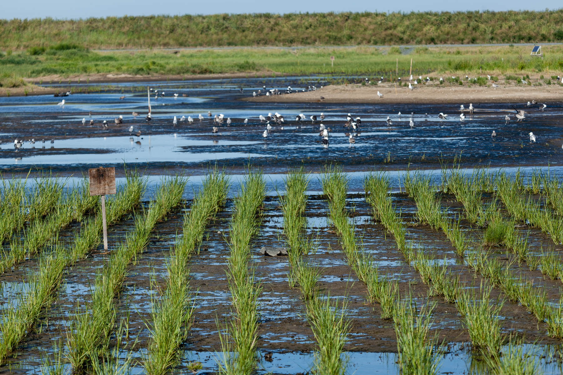
Maryland’s best scoring category was Ecosystem. It earned an A in the “Wetlands” indicator, which evaluates whether or not the state is maintaining sufficient wetland acreage. The report card also gave the state an A in the “Dredge materials” indicator. The bottom of waterways naturally collect excess sediment, which is removed through a process known as dredging. The removed sediment (dredged material) can be used to restore wetlands, stabilize shorelines and rebuild islands lost to erosion. An A in this indicator shows that the state is successfully using dredge material in restoration projects.

The state also earned a B+ in the Planning category. The best scoring indicator in that category was for “Floodplain population,” which counts the number of people living in a floodplain. Communities living in floodplains are at greater risk to property damage, injury and loss of life during flood events. According to UMCES, Maryland reduced the number of people living in a floodplain.
On the other hand, the state received an F in the “Repetitive loss properties” indicator. This indicator looks at whether or not “repetitive loss properties”—buildings that made two or more National Flood Insurance Program claims of more than $1,000 in the past ten years—have made adaptations for flooding, such as being raised on stilts. The state also earned an F in the “Critical facilities” indicator, which looks at the number of hospitals, emergency services and utilities available in flood-prone areas. The low score indicates that the state does not have an adequate number of critical facilities in vulnerable areas.
Maryland has made much progress in the past decade to both mitigate the impacts of climate change and adapt to inevitable changes on the horizon. The UMCES report card allows federal, state and local leaders to make informed decisions on how and where to spend resources that safeguard communities against climate change.
View the full report card to learn more.

Comments
There are no comments.
Thank you!
Your comment has been received. Before it can be published, the comment will be reviewed by our team to ensure it adheres with our rules of engagement.
Back to recent stories