Are we trading trees for concrete?
Efforts to slow the loss of tree canopy and gain of impervious surfaces are taking root across the watershed
Over a decade ago, the Chesapeake Bay Program invested in the development of a cutting-edge technology that would produce one-meter by one-meter resolution datasets showing how the land throughout the watershed was being used. The first iteration of the high-resolution land use and land cover data showed what the Chesapeake Bay watershed looked like in 2013-2014. Four years later, an updated data set was produced, along with a new tool that analyzed the land use and land cover changes seen across the region since the first data set was released.
These new data sets and change tool are now being used to help inform other Chesapeake Bay Watershed Agreement outcomes, giving us a better understanding of how tree canopy and impervious surfaces are transforming the landscape.
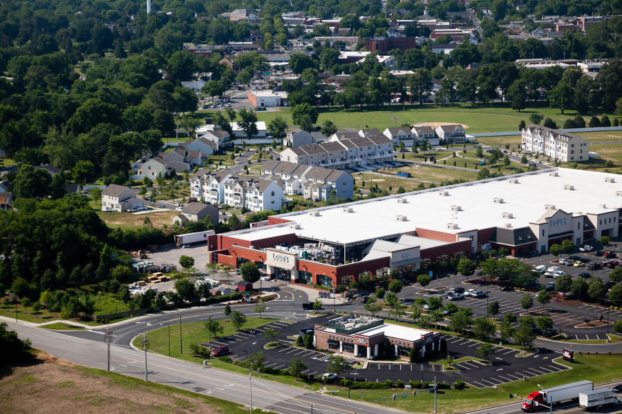
In 2017-2018, 1,927,940 acres of impervious surfaces were mapped across the Chesapeake region. This represents about 4.75% of the entire 40,546,643 acres of land in the watershed. Impervious surfaces are generally any hard surfaces, such as paved roads, parking lots and roofs, that prevent the natural infiltration of water. When it rains, water should be soaked up by tree roots, wetlands or the soil. Instead, impervious surfaces allow water to simply run off, picking up trash, chemicals, sediment
and nutrient
pollutants along its way to the nearest water body.
The data finds that structures (e.g., buildings) contributed to 31.6% of the net increase in impervious surfaces, while roads only contributed to 4.2%. However, other types of impervious surfaces, such as driveways, parking lots, runways, rail lines, etc. saw the highest increase from 2013-2014 to 2017-2018 at 64.3%. This percentage also includes those areas that are currently in interim stages of development, including areas cleared for construction.
When areas are cleared for some of the development structures described above, this often results in the loss of tree canopy. The high-resolution land use and land cover data and change tool are also being used to understand the rate of tree canopy loss across the Chesapeake Bay watershed. Tree canopy gain, however, is determined through the annual progress data that each jurisdiction reports in support of the Chesapeake Bay Total Maximum Daily Load. In the four-year period between 2013-2014 and 2017-2018, it was determined that 8,307 acres of trees were planted in what is defined as community areas (i.e., municipalities, cities, towns, villages and boroughs) across the watershed; however, 25,832 acres of trees were lost in those same areas over the same time period
To help states, counties and local governments better understand this rate of tree canopy gain and loss, the Chesapeake Bay Program’s Forestry Workgroup created a series of fact sheets—one for each county in the watershed. The Tree Cover Status and Change fact sheets include a breakdown of land use and land cover in each county, including the net gain and loss of tree canopy, along with an estimation of the values that trees provide to that county.
Across the watershed jurisdictions, Maryland saw the greatest loss with 13,804 acres, followed by Virginia with 9,548 acres. On the other hand, the portion of the Chesapeake Bay watershed in New York saw a gain of 78 acres, while the District of Columbia added 21 acres. Rounding out the other states, the Chesapeake Bay watershed portions of Delaware, Pennsylvania and West Virginia lost 28, 2,444 and 107 acres, respectively.
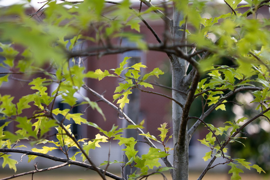
The loss of trees and increase in impervious surfaces is not good news by any stretch of the imagination. Trees soak up rainfall, trapping polluted runoff and stabilizing soil. They produce oxygen while trapping and absorbing air pollutants. They keep air and water temperatures cool, helping to combat urban heat islands. They’ve been proven to aid both physical and mental health, increase property values, generate jobs and income, lower energy costs and foster outdoor recreation.
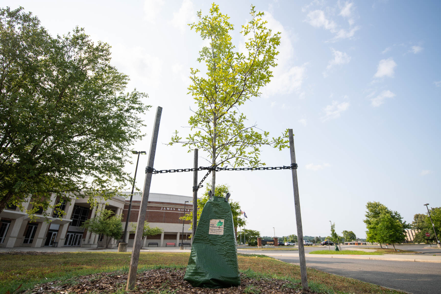
But there are still reasons to be optimistic. While Maryland had the greatest loss in tree canopy, they also reported the largest number of community tree plantings at 6,501 acres. In 2021, their General Assembly passed legislation calling for the planting and maintaining of five million native trees in the state by 2031.
In 2018, the Keystone 10 Million Trees Partnership set a goal to plant 10 million trees across the Commonwealth of Pennsylvania by 2026. By November 2022, they were over halfway to their goal. And in Delaware, their governor set a goal in 2022 to plant one million trees—or A Tree for Every Delawarean.
The recent Infrastructure Investment and Jobs Act has allowed the U.S. Forest Service (USFS) and the Environmental Protection Agency (EPA) to finance multiply projects across the watershed to increase tree plantings. Over the past two years, the EPA has funded $9.6 million in projects to increase tree plantings in both agricultural and urban landscapes, while the USFS will invest $1.5 billion in the coming years to support urban and community forest efforts not only in the Chesapeake region, but nationwide.
While planting a tree is one of the easiest actions one can take to help improve the health of local waters, it is important to remember that it is far more critical to our ecosystem to preserve our existing tree canopy.
Want to help plant some trees during the upcoming fall planting season? Check out our list of organizations across the watershed and sign up to help!
Comments
There are no comments.
Thank you!
Your comment has been received. Before it can be published, the comment will be reviewed by our team to ensure it adheres with our rules of engagement.
Back to recent stories