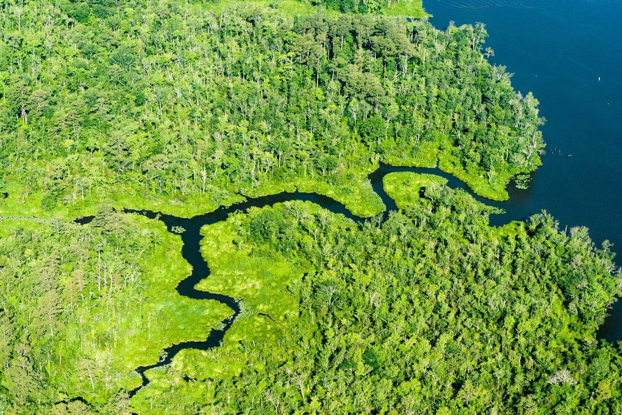
Assessment offers look at resiliency of Maryland’s shorelines
Study will help in targeting projects to protect high-risk communities

A new Coastal Resiliency Assessment from the Maryland Department of Natural Resources and The Nature Conservancy of Maryland & D.C. will help state and local decision-makers focus conservation and restoration activities on coastal communities that are most at risk of flooding, erosion, sea level rise and other hazards.
More than 7,000 miles of shoreline make up Maryland’s coast—which borders both the Chesapeake Bay and the Atlantic Ocean—and these areas are particularly vulnerable to rising sea levels, severe storms and erosion. The Coastal Resiliency Assessment worked to identify regions that are most at risk, existing natural lands that can provide protection and key places to target conservation and restoration efforts. According to the study, habitats like forests and wetlands currently protect 22 percent of the state’s coastal areas and their communities.
The assessment has been incorporated into the Maryland Coastal Atlas—an interactive hub of ocean, estuary and shoreline spatial data—so planners can identify high-priority areas for projects. Data found in the assessment includes an index of high-, moderate- and low-hazard shorelines; places where habitat plays a role in risk reduction; communities at risk of flooding; areas where existing marshes could provide coastal protection; and priority shorelines for conservation and restoration projects.

Comments
There are no comments.
Thank you!
Your comment has been received. Before it can be published, the comment will be reviewed by our team to ensure it adheres with our rules of engagement.
Back to recent stories