By the Numbers: 51 billion
The average amount of river water, in gallons, that flows into the Chesapeake Bay each day

Countless creeks, streams and rivers flow into the Chesapeake Bay. For decades, the U.S. Geological Survey (USGS) has measured the flow of the region’s rivers in order to forecast floods, spot low-flow conditions and estimate the amount of pollution running from the land into the water. While annual river flow has remained within its normal range for much of the last decade, our increasingly variable climate has fostered increasingly variable river flow, which has the potential to affect habitats and pollution levels in the Bay.
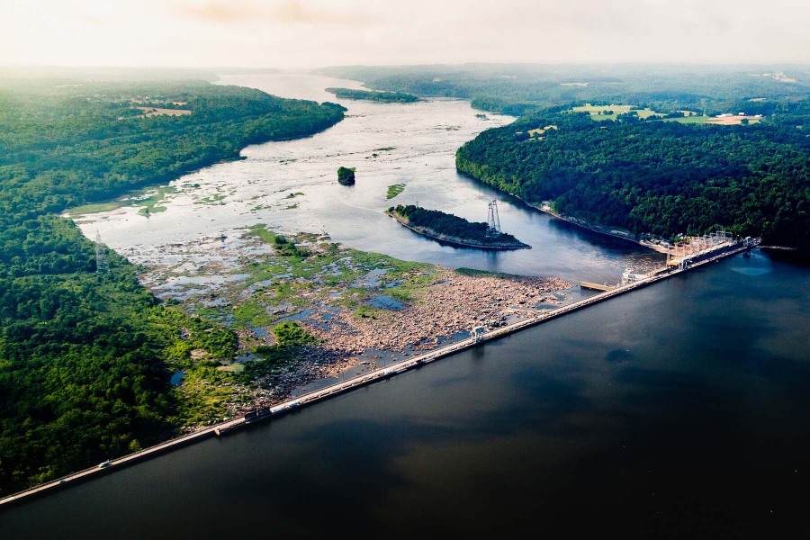
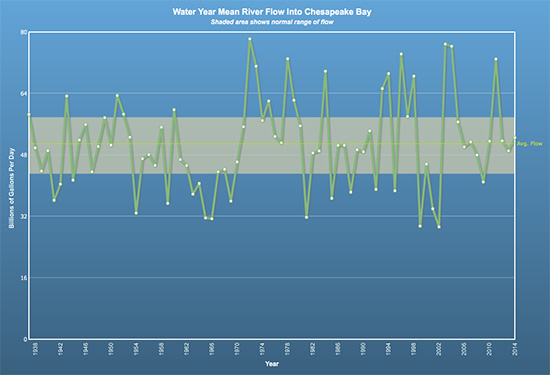
While river flow is tracked at 300 monitoring stations across the watershed, it is the data that are collected at stations along its three biggest rivers—the Susquehanna, the Potomac and the James—that are used to calculate total flow into the Bay. Data collected at these monitoring stations show that, on average, 51 billion gallons of water flow into the Bay each day.
Annual river flow that falls between 44 and 58 billion gallons per day is considered normal. But the last 15 years have seen extreme flow variability, which can affect the surrounding ecosystem.

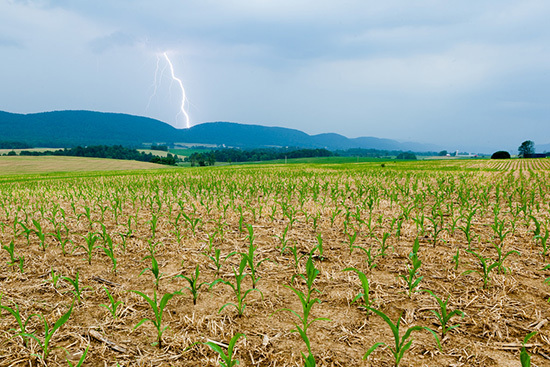
While low river flow can dry up stream beds and threaten fish, high river flow has garnered much attention in the region.Excess river flow can damage stream banks, trigger sewage overflows and push pollutants—including nutrients, sediment and toxic contaminants picked up from farm fields, backyards, parking lots and roads—into the Bay. It can also lower salinity levels in the Bay itself, which has a direct impact on underwater grasses, fish and shellfish. Often, high river flow is linked to heavy precipitation, which has become a noted impact of our changing climate.
In 2014, the U.S. Global Change Research Program reported in its National Climate Assessment that heavy downpours have increased across the nation. The Northeast, in particular, has seen a 71 percent rise in the amount of precipitation that falls during heavy downpours: a higher jump than any other region in the United States. In our work to protect the nation’s largest estuary, the Chesapeake Bay Program is taking these and other climate impacts into account.

Through the Chesapeake Bay Watershed Agreement’s climate resiliency goal, our partners have committed to monitoring climate trends and the effectiveness of our restoration policies, programs and projects under these changing conditions. Our partners have also committed to adjusting our work as needed in order to enhance the resiliency of the watershed against climate change. Because in building the resiliency of the Bay, we can increase the likelihood that its living resources, habitats, public infrastructure and communities will withstand the changes—to temperature, sea level and even river flow—that may come their way.
Learn more about rivers and streams and climate variability.

Comments
There are no comments.
Thank you!
Your comment has been received. Before it can be published, the comment will be reviewed by our team to ensure it adheres with our rules of engagement.
Back to recent stories