County-by-county land use data available for review by local governments
Bay Program partners seek input on high-resolution land use datasets

Chesapeake Bay Program partners are welcoming the review of new high-resolution land use data for all 206 counties in the Chesapeake Bay watershed. The data will inform the partnership’s next generation of models used to estimate nutrient and sediment loads and to credit efforts to reduce those pollutants from draining into the nation’s largest estuary.
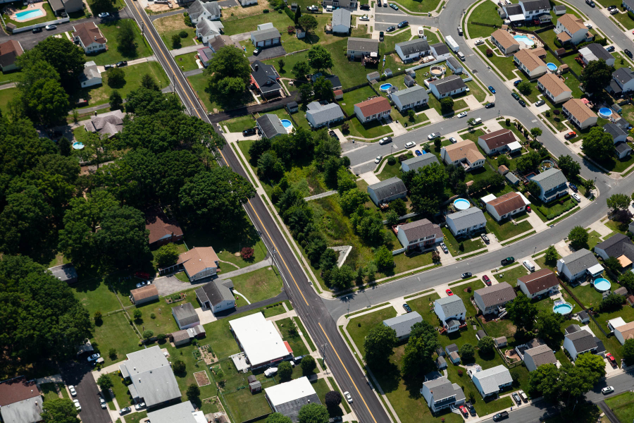
The high-resolution mapping of land use—such as residential areas, agricultural lands, streamside forests, parking lots and roads—is a critical component of the Bay Program’s Chesapeake Bay Watershed Model, used to inform restoration activities and support local, state and regional decision making across the region. The latest version of this model, Phase 6, is currently under development and review. To continually improve our understanding of the landscape, Bay Program partners have been working to incorporate the most accurate land use information available into this updated version.
Over the past two years, the Bay Program worked with local government partners in all the Chesapeake Bay watershed counties and major municipalities to ask for access to local land cover, land use, parcel and zoning data. Thanks to the commitment from our local partners, local land data were collected from over 80 percent of local jurisdictions. In parallel, Bay Program partners funded the development of new high-resolution data on land cover—such as impervious surfaces, tree cover and water—for the entire watershed. This unprecedented work, carried out by the Chesapeake Conservancy, the University of Vermont and World View Solutions, mapped out land cover across more than 80,000 square miles at a one-square-meter resolution. This land cover data was then combined with the information provided by numerous local governments to produce a detailed land use dataset for each county.
To ensure that local land use and parcel data has been correctly interpreted, Bay Program partners are seeking input on these final land use datasets. While open to all interested parties, this review process is especially intended for local governments to participate.
As datasets for each county become ready for review during the last week of October and the first week of November, they are being made available on the U.S. Geological Survey’s Phase 6 Land Use Review Application website. Reviewers will have four weeks to review once a dataset has been posted, but fatal flaw comments are due two weeks after data are made available. Once the data have been reviewed and finalized, the high resolution land cover and land use datasets will be made available free-of-charge to local governments and the public. In addition, Bay Program partners will be making available extensive data on past land cover and land use (from 1984 to 2013), as well as comprehensive geographic coverages of federal lands, sewer service areas, regulated stormwater areas and combined sewer overflow areas, all mapped at similar local scales within each county.
The current review is part of the Bay Program’s larger and long-term commitment to regular updated mapping of Chesapeake Bay watershed counties’ high resolution land cover and land use data to be repeated on a periodic basis. Local government representatives are encouraged to stay engaged in future efforts to continually improve data accuracy. All these future high resolution land cover and land use data sets will continue to be made available to local governments and the public free-of-charge.
Local governments will be able to use the full suite of high resolution land cover and land use data for their own purposes in making better, more well-informed decisions on where to carry out stream restoration projects, plant stream side forests, place easements and permanently conserve lands, as well as to inform comprehensive plans and future zoning and development decisions.
For additional information on the land use data and how to provide feedback, a pre-recorded webinar is available online. Questions and requests for further information can be directed to Lindsey Gordon at Gordon.Lindsey@epa.gov and (410) 295-1380.

Comments
There are no comments.
Thank you!
Your comment has been received. Before it can be published, the comment will be reviewed by our team to ensure it adheres with our rules of engagement.
Back to recent stories