From the air, Virginia's Piedmont transitions from mountains to metropolis
Flying over the region gives a fresh perspective on land use and conservation
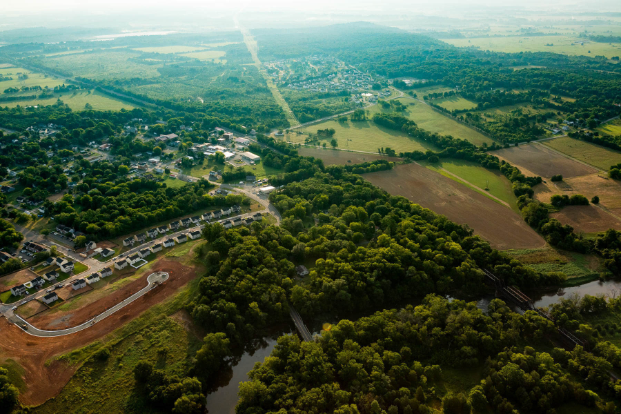
Virginia’s Piedmont region is an area of transition, where the densely populated District of Columbia and the serene forests of the Blue Ridge Mountains play tug-of-war over a patchwork of farm fields and residential development.
As of 2017, three out of four of the most populated localities in Virginia reside in this area. The challenge amid this growth, according to Bri West of the nonprofit Piedmont Environmental Council (PEC), is how to protect the land while using it at the same time.
West is PEC’s communications director and a lifelong resident of Fauquier County (she moved there when she was two). Despite her deep familiarity with the Piedmont, she gained a new perspective on it with the help of Southwings, an organization that provides flights for conservation purposes. Together we flew over a swath of the nine counties—Prince William, Loudoun, Fauquier, Clarke, Madison, Culpeper, Orange, Albemarle and Rappahannock—where PEC is active in order to document the region.
“A lot of what comes through is that balance between conservation and land use,” West said after seeing the region from above. “Beautiful, gorgeous fields and forests and then development side, that can look ugly from the sky but is also where we all live.”
Perhaps West’s biggest surprise hit close to home, near a small community in Fauquier County called Opal.
“I know Opal from the ground like the back of my hand,” West said. “I had no idea there was a pond. It appears to be 40 feet behind one of the gas stations. I mean really close—right on the highway.”
West said she realized how car-centric her view of the region is.
The photos showed some striking contrasts among areas like Albemarle County to the southwest and Fairfax to the north—home to 11 times more people. But West recognized some commonalities, particularly along the Rappahannock River, which runs west to east through the Piedmont. PEC is working to increase access to the river and improve walkability in places along the Rappahannock like the city of Remington.
“Seeing all these water features from above does give you an appreciation of how connected we all are by water,” West said.
 The headwaters of the Rapidan River are seen near Skyline Drive in Shenandoah National Park last year. PEC has worked to improve fish habitat in the region. “You can imagine or see where water might be,” West said. “And I know there are tributaries all over all of the mountains we were looking at.”
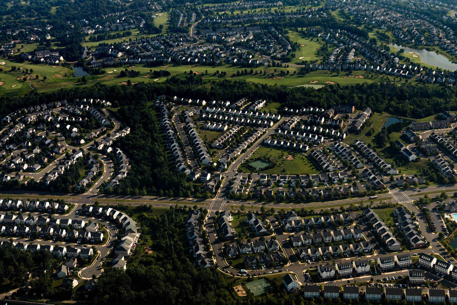 Development north of Highway 66 in Haymarket, Va. In 2017, Prince William County overtook Virginia Beach to become Virginia’s second-most populous locality.
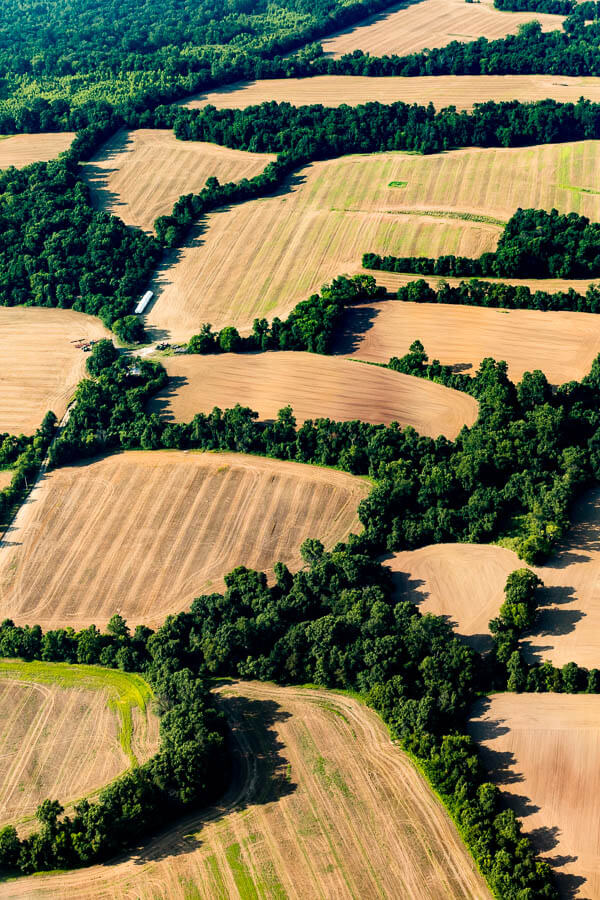 Forested areas mark fence lines between farm fields south of Highway 66 near Gainesville in Prince William County. “It gives that kind of quilt look to the landscape,” West said.
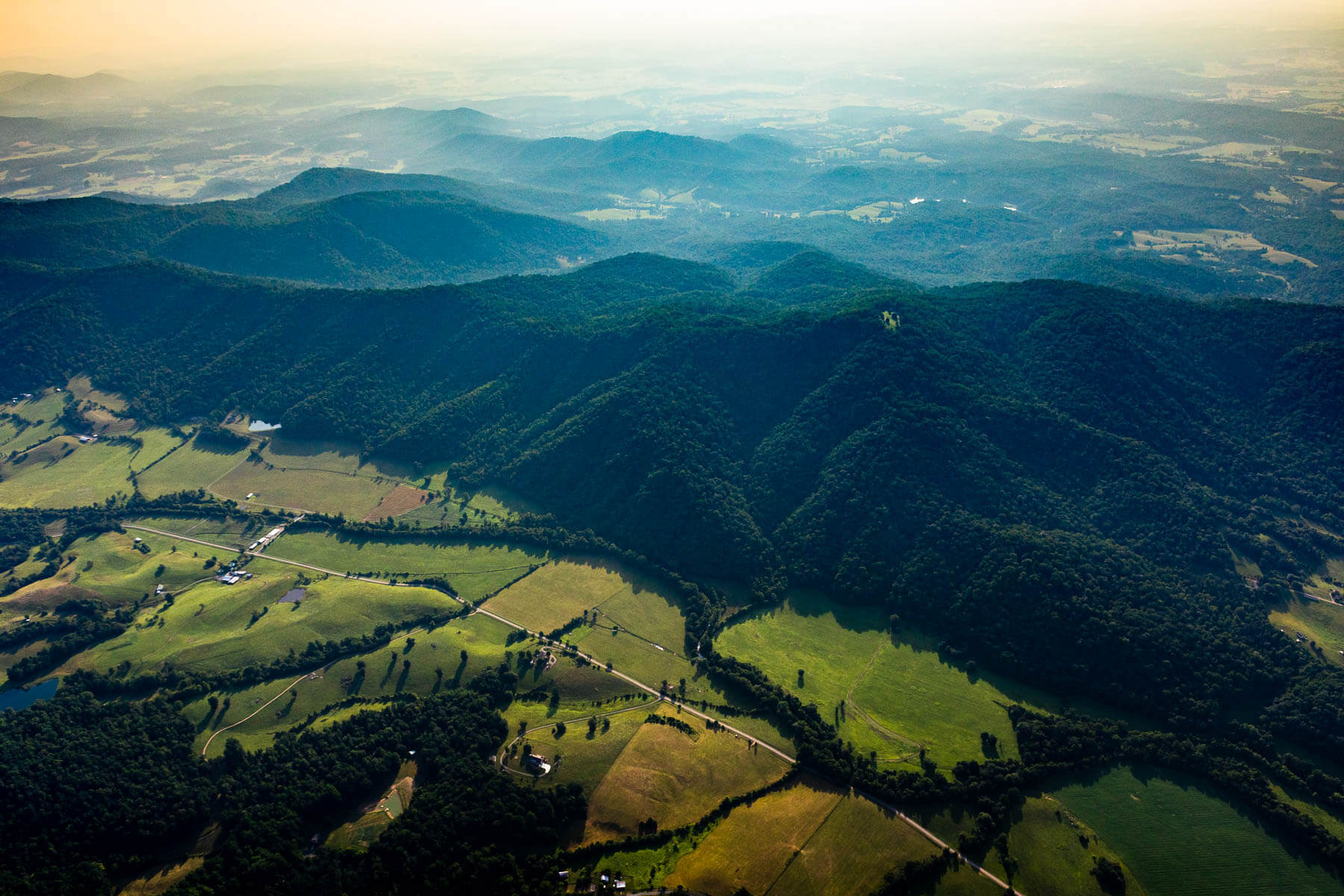 The Rapidan River winds through fields at the base of mountains in Madison County.
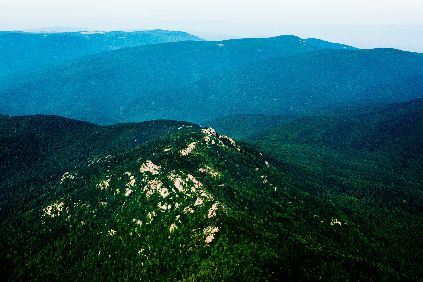 Old Rag Mountain, part of Shenandoah National Park in Madison County, is seen facing west. PEC hosts mountain heritage events celebrating the families that once lived in and around the park. “I think that was one of the things that caught me by surprise was just how beautiful the mountains were,” West said. “It was not the same as flying into Dulles and catching a glimpse of them.”
 Farm fields form patterns near the Rapidan River in Orange County.
 Construction progresses on the Remington Solar Power Facility in Fauquier County, which began generating power in the fall of 2017. The facility is the result of a partnership including Dominion Energy, Microsoft and the Commonwealth of Virginia, and produces electricity for up to 5,000 homes.
 A farm field borders a silted stretch of the Rappahannock River in Fauquier County. “That cries out for a buffer, but here’s the thing—it’s expensive to put in place riparian buffers,” West said. “We’ve got to work together with people to do it.”
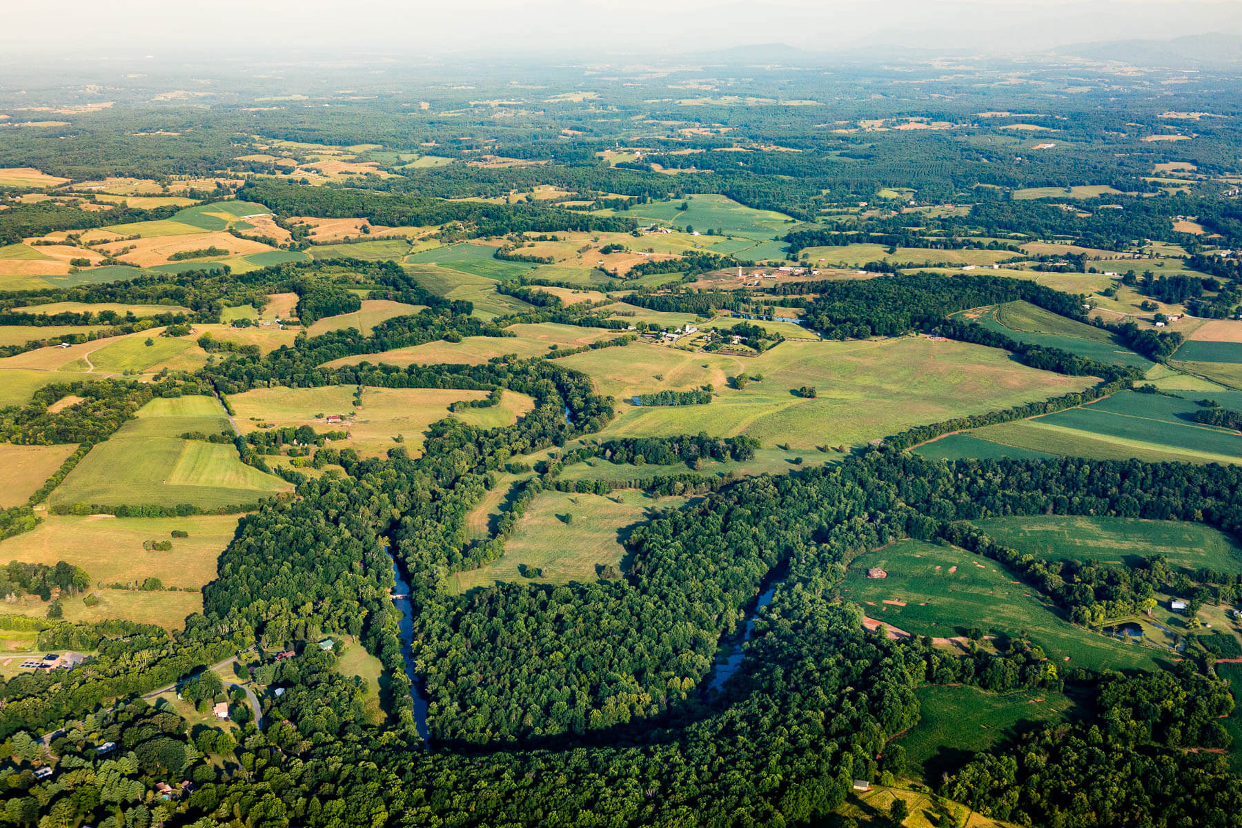 The Rapidan River flows past Madison Mills in Orange County.
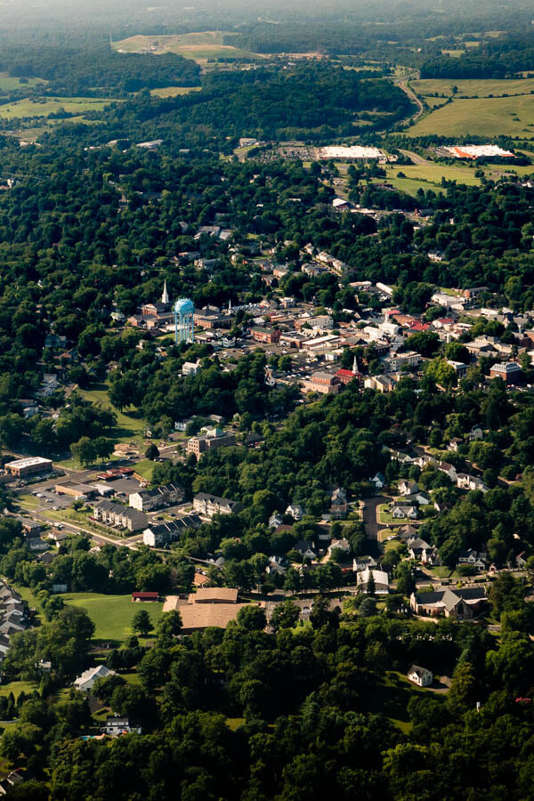 The town of Warrenton in Fauquier County is where Piedmont Environmental Council has its headquarters. “I hadn’t realized just how many trees downtown Warrenton has,” West said. “It looks like a very tree-filled town.”
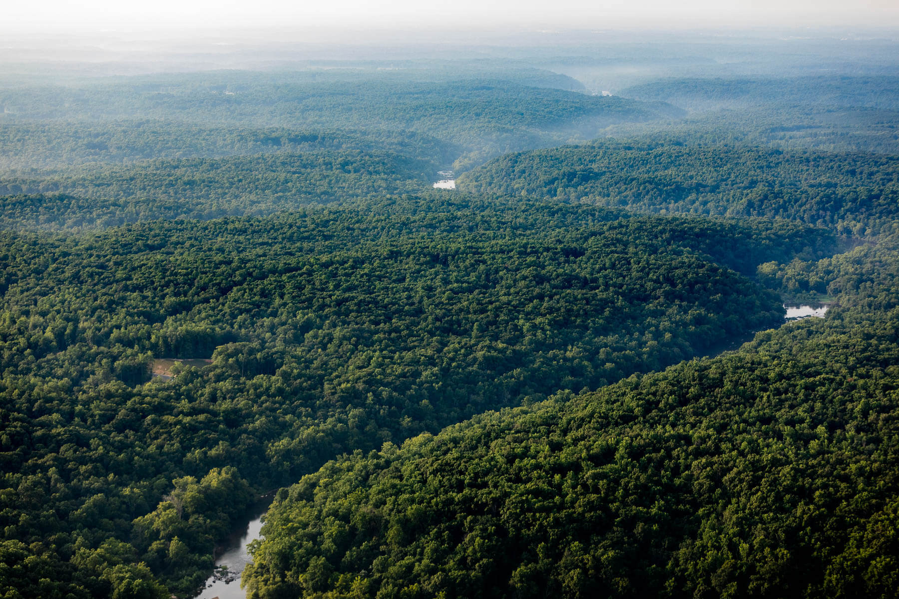 The Rappahannock River flows into Stafford County, seen from the southern edge of Fauquier County.
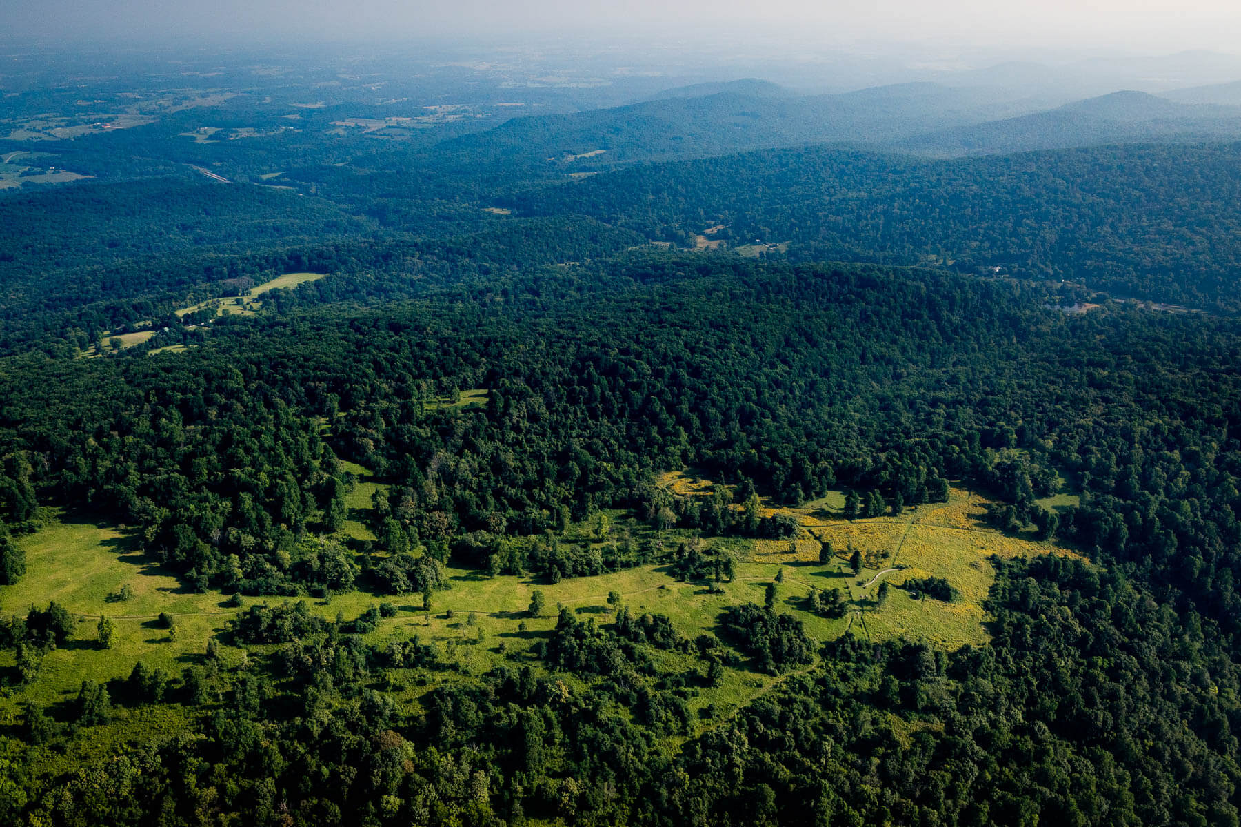 Piedmont Memorial Overlook is seen, looking north toward Clarke County. Piedmont Environmental Council owns 50 acres, marked by yellow wildflowers above. “We actually donated land to the National Park Service so that they could reroute the Appalachian Trail right beside the property we retained ownership of,” West said.

Comments
Thoughts of what this magnificent scenic Virginia viewshed might look like in the future inspires and justifies our efforts today.
Thank you!
Your comment has been received. Before it can be published, the comment will be reviewed by our team to ensure it adheres with our rules of engagement.
Back to recent stories