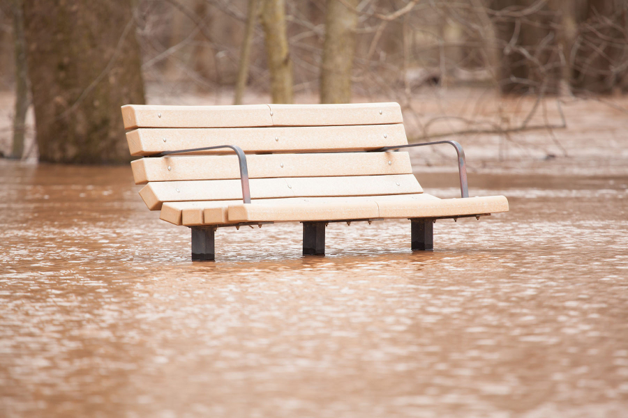
Groundwater withdrawal causing land to sink in lower Chesapeake region
Continued land subsidence could worsen the effects of sea-level rise.

The intensive withdrawal of groundwater is causing land to sink in the lower Chesapeake Bay region, worsening the effects of sea-level rise and increasing the severity of floods along the Delmarva Peninsula and Virginia Coastal Plain.
Land subsidence, or the sinking of the land’s surface, is in part a natural phenomenon, occurring as bedrock responds to the melting of an ice sheet that once covered Canada and the northern United States. But according to a new report from the U.S. Geological Survey (USGS), most of the land subsidence in this area is taking place in response to groundwater withdrawal, which could help explain why the region has the highest rates of relative sea-level rise on the Atlantic Coast.
When groundwater is pumped out of the earth, water levels in the area’s underground aquifers decrease. As these water levels decrease, the aquifer system compacts, causing the land above it to sink. In the southern Bay region, land subsidence has been measured at rates of 1.1 to 4.8 millimeters per year—close to the width of five stacked pennies.
Land subsidence can increase flooding, alter wetland and coastal ecosystems, and damage human infrastructure and historical sites. Some areas in Virginia—like the city of Franklin and the counties of Isle of Wight and Southhampton—have already experienced floods as the land around them sinks, and the low-lying Hampton Roads could experience similar episodes soon.
But according to the USGS, a change in water use—from moving groundwater pumping out of high-risk areas to slowing rates of groundwater withdrawal—could slow or mitigate land subsidence and relative sea-level rise.

Comments
There are no comments.
Thank you!
Your comment has been received. Before it can be published, the comment will be reviewed by our team to ensure it adheres with our rules of engagement.
Back to recent stories