Biologists track bay grass abundance for clues about water quality
Underwater grasses are sensitive to pollution and an indicator of Bay health.
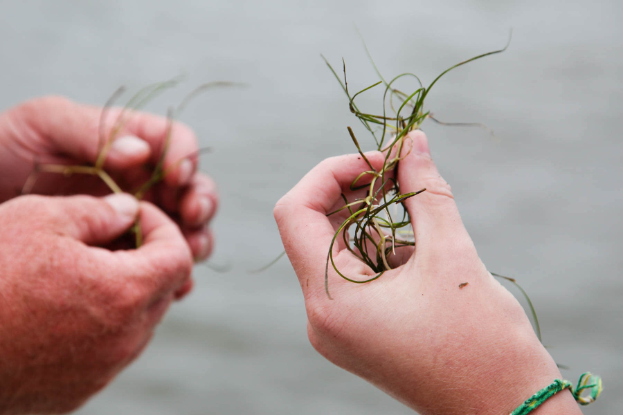
To track the health of the Chesapeake Bay, researchers across the watershed watch so-called “indicator species” for clues about water quality. Bay grasses—sensitive to pollution but quick to respond to water quality improvements—are one such indicator. Bay grasses are monitored each year by a range of experts in the field, from the U.S. Fish and Wildlife Service (USFWS) to the Virginia Institute of Marine Science (VIMS), the latter of which compiles Bay-wide observations in an annual report on bay grass abundance.
Bay grasses, also known as submerged aquatic vegetation or SAV, provide critical habitat and food for wildlife, add oxygen to the water, absorb nutrients, trap sediment and reduce erosion.
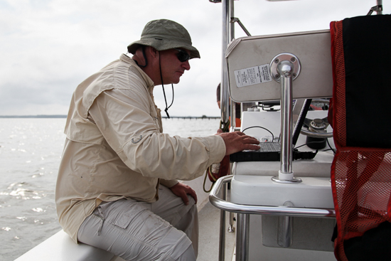
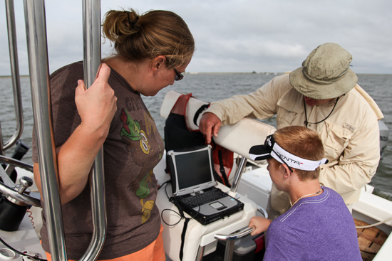
During the months of May, July and September, biologists like Chris Guy, who works with USFWS, visit randomly selected sample sites throughout the Bay. Occasionally accompanied by volunteers, their mission is to track the ebb and flow of underwater grass beds in order to gauge the health of the Bay.
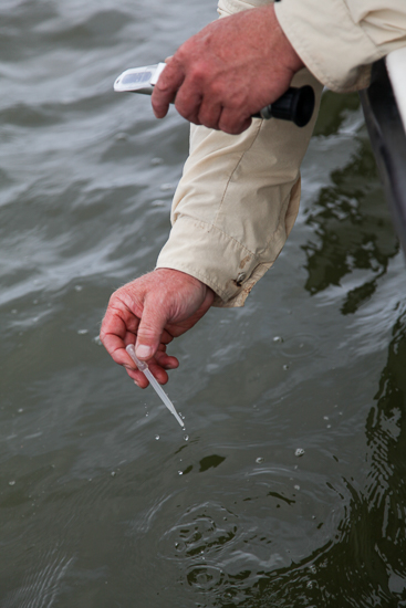
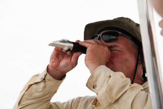
Once a sampling site is reached, researchers use a refractometer to determine the salinity of the water. Different bay grass species prefer different salinity levels, and this measurement gives biologists a hint as to what kind of grasses they should expect to find.
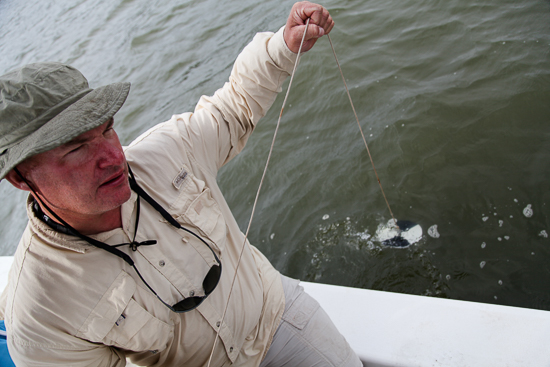

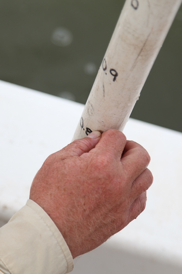
Biologists measure water clarity by submerging a black and white Secchi disk until it is no longer visible, at which point it is pulled up and the waterline is measured. Clear water is important to the health of bay grasses. Because they need sunlight to survive, submerged aquatic vegetation is typically not found in water deeper than five feet.
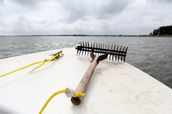
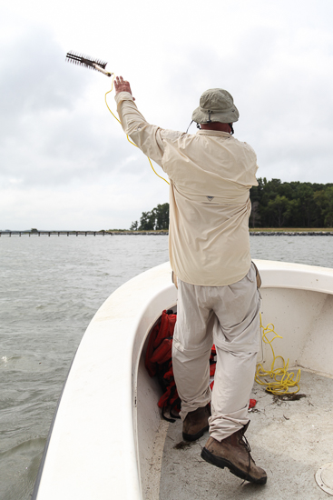
Once the salinity and turbidity are measured, a rake is tossed into the water and allowed to sink to the bottom.
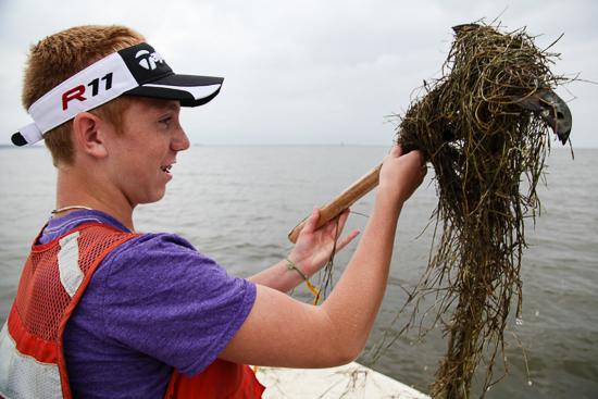
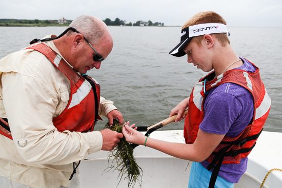
As the rake grips the bottom and the boat moves forward, the line attaching the rake to the boat becomes taught. The thrower hauls it back on board, records the grass species that are found and rates the abundance level on a scale of one to four. A one indicates an empty rake, while a four means that at least 70 percent of the rake is full of grass.
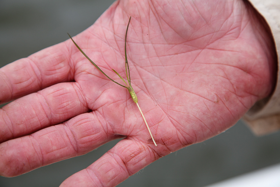
Hundreds of sampling trips allow scientists to amass a set of data that can be used to measure grass abundance across the Bay. Over the past 30 years, this number has fluctuated with changes in weather and water quality. In 2012, a VIMS analysis indicated bay grasses experienced a 21 percent decline, from just over 63,000 acres in 2011 to just over 48,000 in 2012. The Chesapeake Bay Program and its partners hope to restore 185,000 acres of underwater grasses to the Bay, which would approach historic twentieth century averages and bring a dramatic improvement to the entire Bay ecosystem.
View more photos on the Chesapeake Bay Program Flickr page.
Photos by Steve Droter

Comments
I had been raising wild celery in my classroom with my middle school students as part of the "Bay Grasses in Classes" program since its beginning in 1998. This year we were unable to obtain the seeds and had to raise switchgrass, monkey flowers, and cone flowers, which we planted at the Chesapeake Bay Environmental Center. Hopefully "Bay Grasses in Classes" will not disappear completely. Students who participate learn the value of these indicator species and become lifelong stewards of the Chesapeake Bay and her watershed.
Thank you!
Your comment has been received. Before it can be published, the comment will be reviewed by our team to ensure it adheres with our rules of engagement.
Back to recent stories