Maps
Browse through maps depicting Bay health and restoration, including pollution trends, public access sites and more.
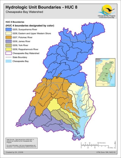
Hydrologic Unit Boundaries - HUC 8
Date created: February 5, 20088-digit Hydrologic Unit Code (HUC) for the Chesapeake Bay watershed states level was created by dissolving huc11_hr02.The aggregate HUC-11 data set has been modified from USGS data by the Chesapeake Bay Program GIS Team to ensure edge matching and closed watersheds along state boundaries. There are a total of 506 HUC-11/watersheds for the Chesapeake Bay Basin in this aggregate data set.
View map